Best for
Experienced off-road drivers
Surface
Loose rock, off-camber sections, tight switchbacks and longer dirt sections
Difficulty
⭐⭐⭐⭐ 4/5 (Moderate–Hard)
Vehicle
Well-equipped 4WD vehicles
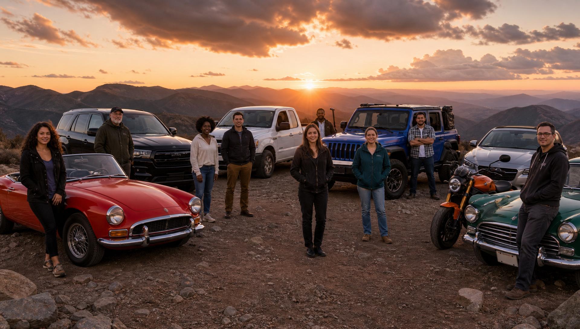
Explore remote backcountry scenery and challenging forest roads on a ridge-running expedition through Cleveland National Forest, with high mountain views and scenic overlooks along the way.
Perfect For
- Experienced off-road drivers
- Well-equipped 4WD vehicles
Route Directions
- Start at Mossy Chrysler Dodge Jeep Ram – Chula Vista
- Follow Highway 67 North
- Pass through Ramona
- Drive Orosco Ridge Road (12S02)
- Continue onto Upper Santa Ysabel Truck Trail (12S07)
- Connect with Black Mountain Truck Trail (11S04)
- Travel Mesa Grande Ridge Roads
- Finish at Hideout Mountain Lodge
Terrain
- Loose rock
- Off-camber sections
- Tight switchbacks
- Steeper descents
- Longer dirt sections
Highlights
- Cleveland National Forest
- High mountain ridges
- Remote backcountry scenery
- Scenic overlooks
- Challenging forest roads
Recommended Equipment
- Full-size spare tire
- Air compressor
- Recovery strap
- 33-inch tires recommended
- Stop 1Start
Mossy Chrysler Dodge Jeep Ram – Chula Vista
Begin the Ridge Runner Expedition before heading north through Ramona toward the forest roads.
- Stop 2Finish
Hideout Mountain Lodge
27413 Highway 76, Santa Ysabel
Finish the ridge-running backcountry expedition at Hideout Mountain Lodge.
Route
Mossy Chrysler Dodge Jeep Ram – Chula Vista → Hideout Mountain Lodge
Final checkpoints and turn-by-turn directions are provided to registered teams.